Measuring What Matters: Acre Insights Brings LiDAR-Verified Biomass Data to EcoPlanet Bamboo in Rwanda

■ Rwanda ✦ Drone LiDAR Biomass Measurement & Verification ■ EcoPlanet Bamboo
As winner of the Innovate Africa Challenge – implemented by Smart Africa and GIZ, in partnership with AUDA-NEPAD and Impact Hub Berlin – Acre Insights received a grant to deploy drone-based LiDAR biomass measurement for EcoPlanet Bamboo's Rwanda Riparian Restoration Project. From March to November 2026, our team will work alongside EcoPlanet Bamboo to show that LiDAR-derived data can stand as a trusted, verifiable source of ground truth for carbon projects.

The problem we're solving
Carbon and forestry projects across Africa live or die by the credibility of their measurements. Right now, most projects rely on manual field surveys: enumerators walking permanent sample plots with callipers, measuring tapes, and clinometers, recording tree counts, diameter, and height by hand.
For EcoPlanet Bamboo's Rwanda Riparian Restoration Project, that means a 6-person field team spending roughly 2 months every monitoring cycle, covering 39 permanent sample plots across 5 districts and about 1,000 hectares. It is slow, labour intensive, and hard to scale, and it's the standard across most of Africa's smallholder-dominated carbon landscapes, not the exception.
Satellite imagery helps at scale, but it struggles to resolve individual trees or small, fragmented plots. Drones close that gap. A single day of drone LiDAR acquisition can cover thousands of acres at a resolution fine enough to detect individual trees, while still operating fast enough to monitor an entire project area.

Drone with lidar sensor being launched
Why this project matters
EcoPlanet Bamboo's Rwanda project reduces roughly 3.3 million tCO2e over 20 years and sits within a broader portfolio of 6 restoration and bamboo projects across Africa, and Latin America. It is exactly the kind of project where credible, repeatable, audit-ready monitoring can unlock climate finance at scale, if the data behind it can be trusted.
That trust is the point of this pilot. Over the next several months, Acre Insights will pair UAV LiDAR acquisition with AI-driven tree segmentation and biomass modelling to generate registry-aligned measurements that can be checked against EcoPlanet Bamboo's existing manual ground truth data. If LiDAR-derived biomass estimates hold up against decades-old field methods, it builds the case that drone data can be a legitimate, verifiable source of truth for carbon MRV, not just a faster substitute for it.
The project is also expected to culminate in a joint scientific paper with EcoPlanet Bamboo, contributing peer-reviewed evidence to a field where trusted validation is still scarce.

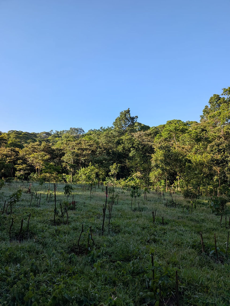
Setting up ground control points in a Rwandan riparian restoration site
About EcoPlanet Bamboo
EcoPlanet Bamboo develops and manages large-scale bamboo farms for restoration and carbon sequestration across Africa, Asia and Latin America. Their Rwanda Riparian Restoration Project, registered under Verra VCS, will restore 5,000 ha of degraded riverine landscapes using bamboo, one of the fastest growing biomass producers on the planet, while generating verified carbon credits.
About the Innovate Africa Challenge
The Innovate Africa Challenge is part of the Triangular Cooperation for Digital Innovation 'Made in Africa', financed by the Federal Ministry for Economic Cooperation and Development (BMZ) and jointly implemented by Smart Africa and GIZ, in partnership with AUDA-NEPAD and Impact Hub Berlin. The aim of the Challenge is to back African startups building digital solutions with continental-scale potential. The grant aligns closely with Smart Africa's push for digital transformation and data-driven infrastructure across the continent, and it gives Acre Insights the runway to validate its LiDAR-based MRV approach in a second country, Rwanda, alongside its existing work in Kenya.
The team behind the work
This pilot is being led by Maggie Chepkirui, co-founder and CTO of Acre Insights and the company's technical delivery lead. Maggie brings a background in geospatial engineering and years of hands-on experience across drone-based RGB, multispectral, and LiDAR collection and processing, backed by RPL-licensed operators and close working relationships across the region's drone and aviation ecosystem.
She's joined by John Nyaga, an experienced MRV expert supporting the project's forestry monitoring and verification design, and Elkanah Kipruto, whose forestry and remote sensing expertise underpins the biomass and carbon modelling work.
“For carbon markets to scale across Africa, we need measurement systems that are as scalable as the projects themselves. This pilot is about proving that we can move beyond labor-intensive field enumeration without compromising the accuracy, transparency, and scientific rigor that carbon integrity demands. We want to demonstrate that drone and LiDAR data can become a trusted layer of evidence for how biomass and ultimately carbon is measured.”
— Maggie Chepkirui, Co-Founder & CTO, Acre Insights

Team member reviewing LiDAR point cloud data in the field
A new country, a new set of partners
This project also marks Acre Insights' expansion into Rwanda as an operating context, which means new regulatory ground to cover with the Rwanda Civil Aviation Authority for drone flight approvals, and new partnerships to make the fieldwork possible on the ground. On the ground, we're working with Echelon Landworks, our Rwanda-based partner, to deliver the fieldwork.


What's next
Fieldwork and data processing will run from March through November 2026, building toward a joint scientific paper with EcoPlanet Bamboo that puts LiDAR-based biomass measurement to the test against a project with years of manual ground truth data behind it.
If it holds up, it's a strong signal for every carbon project developer wrestling with the same question: how do you monitor a fragmented, smallholder-scale landscape without losing the rigour that funders and registries demand? We think drones, done properly, are a big part of the answer.
Want to know more about this project or explore what LiDAR-based biomass measurement could look like for your carbon or restoration project? Get in touch with the Acre Insights team.
Get in touch →sales@acre-insights.com


Comments